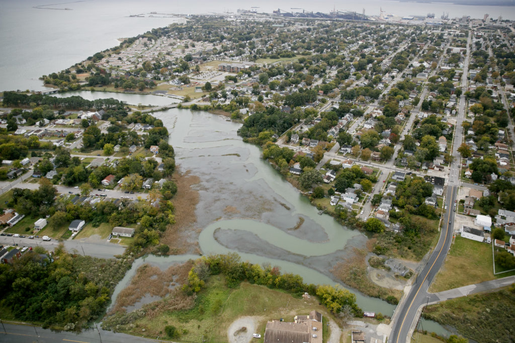
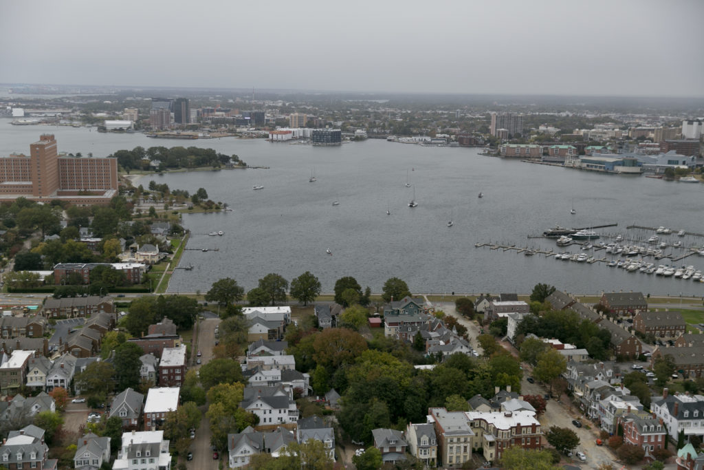
A new map created by Old Dominion University, in partnership with WHRO Public Media, shows thousands of homes in the region could go underwater in the next six decades.
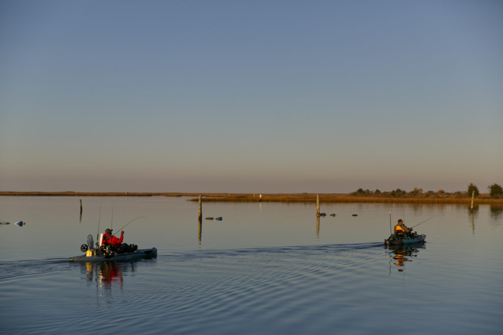
In the meantime, residents have learned to live among the rising water by raising and repairing homes or keeping personal watercraft for severe storms.
In other cases, the impacts are more severe, like neighborhoods emptying out as people retreat from flood-prone areas.
Most of the region is at critical decision point: Stay and adapt or leave and let the water take over?
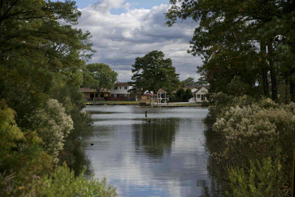
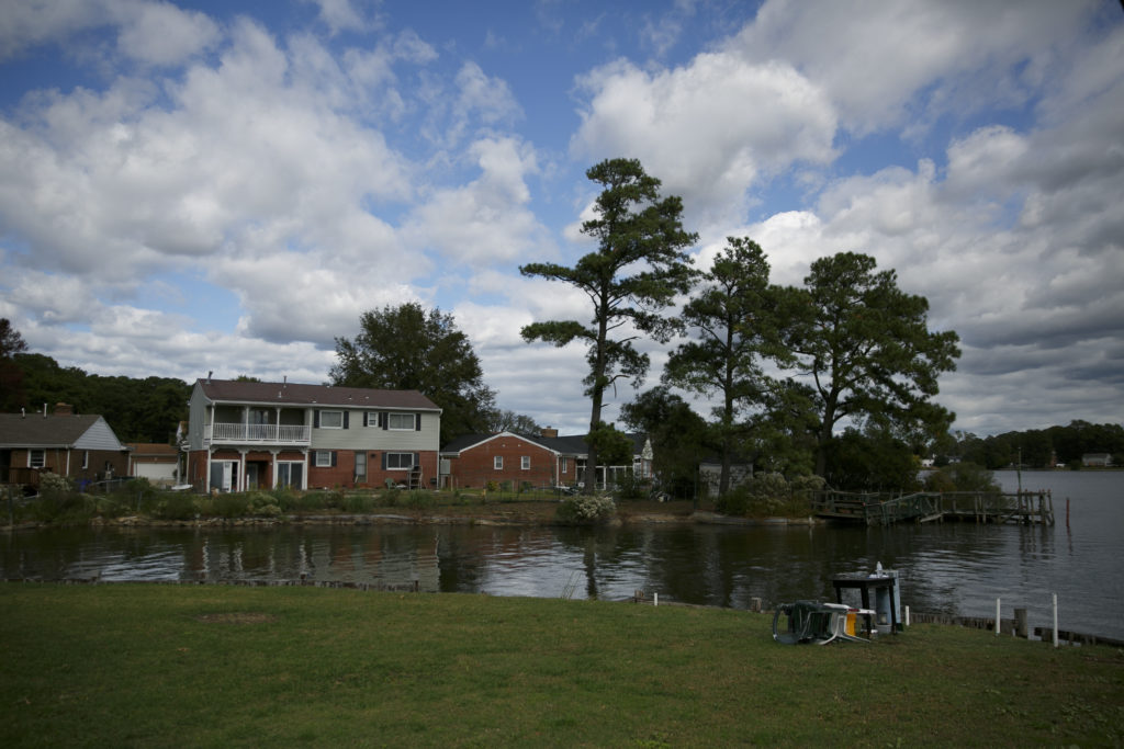
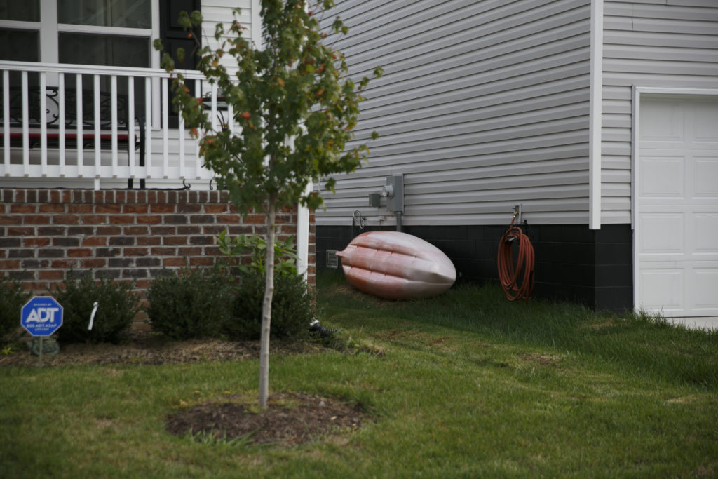
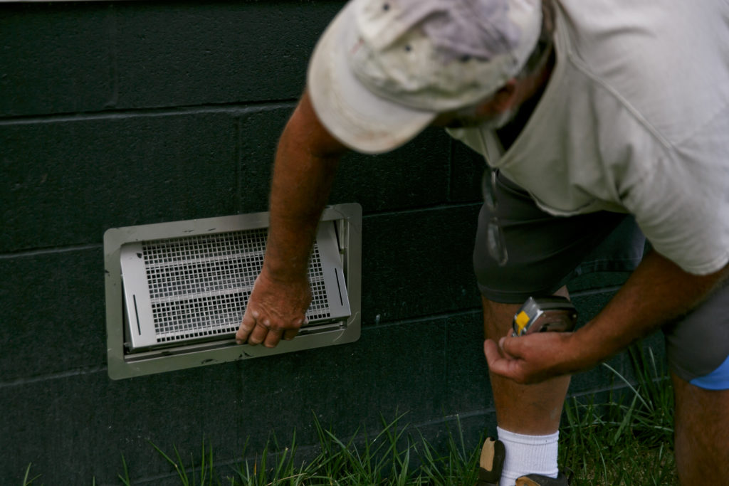
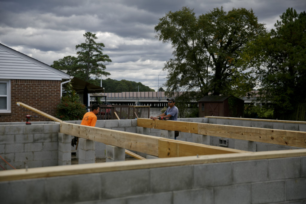
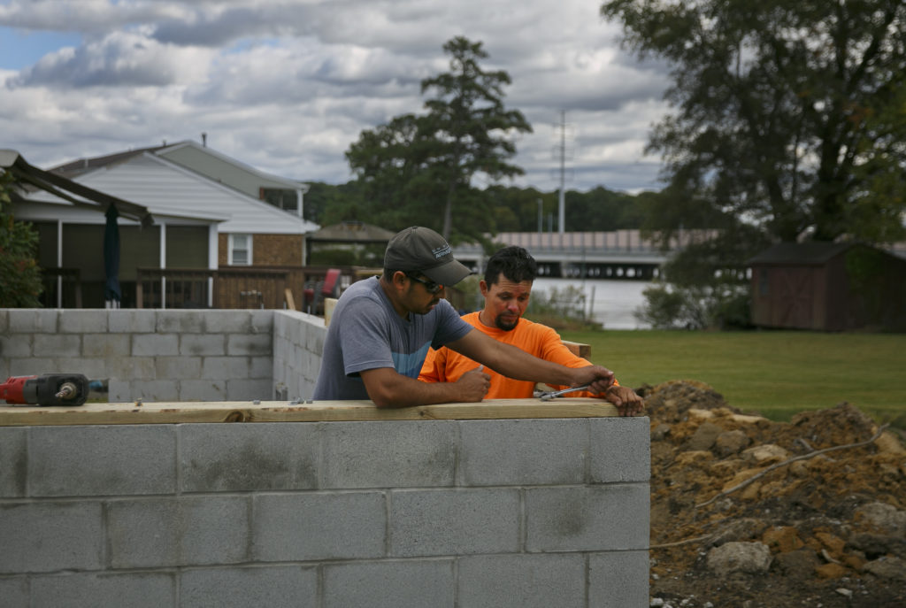
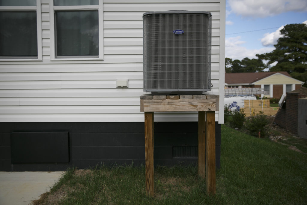
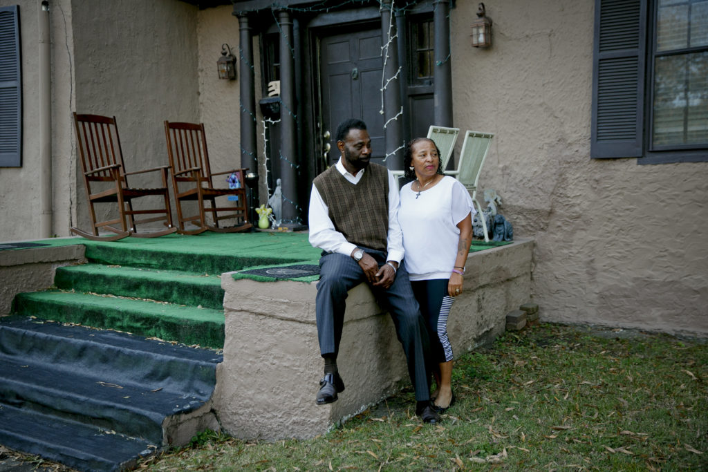
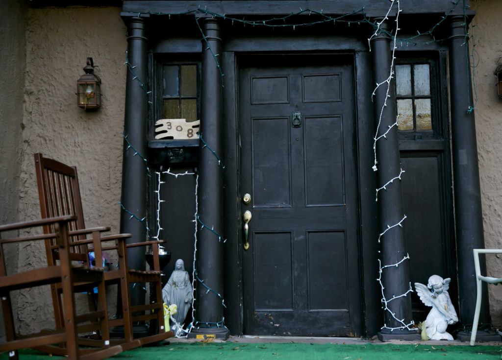
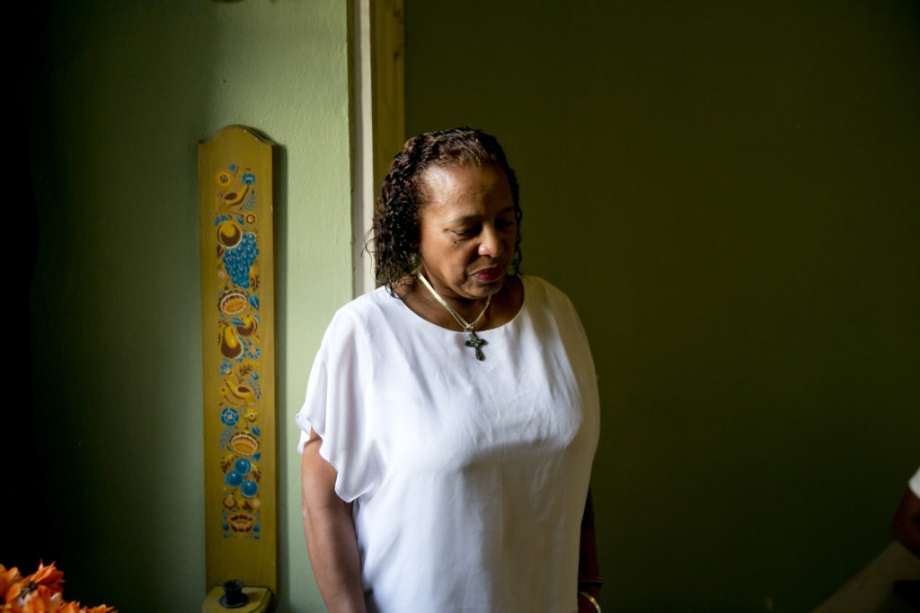
Houses in the Ingleside neighborhood sit on the Elizabeth River during high tide in Norfolk.Parts of Ingleside could be underwater by 2060, according to a flood projection map produced by Old Dominion University, in partnership with WHRO. A kayak rests against a house in the Ingleside neighborhood of Norfolk. Water is a way of life for many in the area.Foreman Mark Ball shows stainless steel flood vents on a home in the Ingleside neighborhood in Norfolk. The vents are designed to allow flood waters to move throughout the underneath of the house easing pressure on the foundation. A construction crew lays the joists for a house on a raised foundation along the Elizabeth River in the Ingleside in Norfolk. In addition to a raised foundation, the builders had many requirements for the five houses they built in the neighborhood, including elevating electrical, heating, ventilation, plumbing, and air conditioning equipment all above a certain level. Construction crew members work on the raised foundation for a house along the Elizabeth River in the Ingleside. .A raised air conditioner in case of flood waters at a house in the Ingleside neighborhood of Norfolk.Water approaches a home in Newport News during King Tide in November 2021. A vacant lot that used to be a home sits empty.Salters Creek in Newport News, Va., during King Tide in November 2021.Margaret and Bobby Buxton in front of their home in Portsmouth. The home sits along the Elizabeth River and has foundational issues as a result of the wet ground from flooding.The front door of the Buxton home has a slight lean as a result of the foundation settling due to wet ground and flooding in Portsmouth.Margaret Buxton in her home, which has flooded several times. Her husband, Bobby Buxton, estimates they’ve paid more than $250,000 to repair their home after flooding. The neighborhood of Margaret and Bobby Buxton in Old Towne Portsmouth.Kayakers near at Messick Point Public Boat Ramp on Front Cove in Poquoson.